Forget the lines. The 20th century viewed the ocean as a surface to be traversed or a perimeter to be guarded, a blue void separated by invisible fences. In Oceania, this two-dimensional thinking has become a strategic liability. Why do we still cling to the notion of a static border when the real assets are buried five miles beneath the waves? The current scramble for deep-sea minerals proves that the map is no longer the territory; the map is merely a suggestion that the powerful are increasingly inclined to ignore.
Consider the ambitions of American Deep Sea Minerals. This is not merely a corporate venture but a legal gambit. By seeking approval to lease 25 million acres of international waters just outside the exclusive rights of French Polynesia, the Cook Islands, and Kiribati, the entity is testing the elasticity of international law. It operates in the grey space where national jurisdiction ends and the high seas begin, treating the ocean not as a border but as a warehouse of critical minerals waiting for a legal loophole.
Coalter Lathrop, a lawyer specializing in international ocean law, describes American Deep Sea Minerals as an idea rather than a mining company. This distinction is crucial. The idea is that the high seas, governed by the International Seabed Authority (ISA), are open to those who can navigate the regulatory fog. While the ISA continues to negotiate a framework to govern the industry, private actors are already positioning themselves on the periphery of national borders, waiting for the moment when the cost of extraction drops below the cost of diplomacy.
The UNCLOS Gap
The United States has not ratified the U.N. Convention on the Law of the Sea (UNCLOS). This creates a legal asymmetry where the US can assert its own rules of exploration while remaining outside the treaty's binding constraints.
The US government's plan to auction sections of water around American Samoa further complicates the geometry of sovereignty. By utilizing the Exclusive Economic Zone (EEZ), Washington asserts a sovereign authority to exploit the seabed that bypasses the ISA entirely. This isn't a negotiation; it is a unilateral declaration of ownership. When the US ignores the UNCLOS framework, it doesn't just ignore a treaty—it creates a fragmented reality where the National Ocean and Atmospheric Administration (NOAA) becomes the sole arbiter of what is permissible in its waters.
| Regulator | Jurisdiction | Legal Basis | Primary Objective |
|---|---|---|---|
| International Seabed Authority | International Waters (High Seas) | UNCLOS Treaty | Global Regulatory Framework |
| NOAA / US Government | US Exclusive Economic Zone (EEZ) | US Domestic Law | Commercial Mineral Recovery |
Is the EEZ a shield for Pacific nations or a loophole for superpowers? For the US, the EEZ around American Samoa is a tool for resource security. The proposed lease sales target depths ranging from 4,600 to 20,000 feet, depths where traditional maritime patrolling is impossible. In this environment, the border is not a line on the surface, but the reach of a robotic drill. If you can reach the mineral, you own the territory. The physical ability to extract has replaced the legal right to possess.
"The International Seabed Authority said it cannot comment as it has no jurisdiction over the area, which falls within the U.S. exclusive economic zone."— International Seabed Authority Statement
This detachment of jurisdiction from international oversight is not a localized Pacific phenomenon. It is a global strategy of territorial expansion through technical capability. The US approach in American Samoa mirrors a broader trend of treating the ocean as a series of extraction nodes rather than a shared global common. When the legal framework is discarded in favor of domestic regulation, the very concept of a sea border becomes a fiction used only when it serves the state's interest.
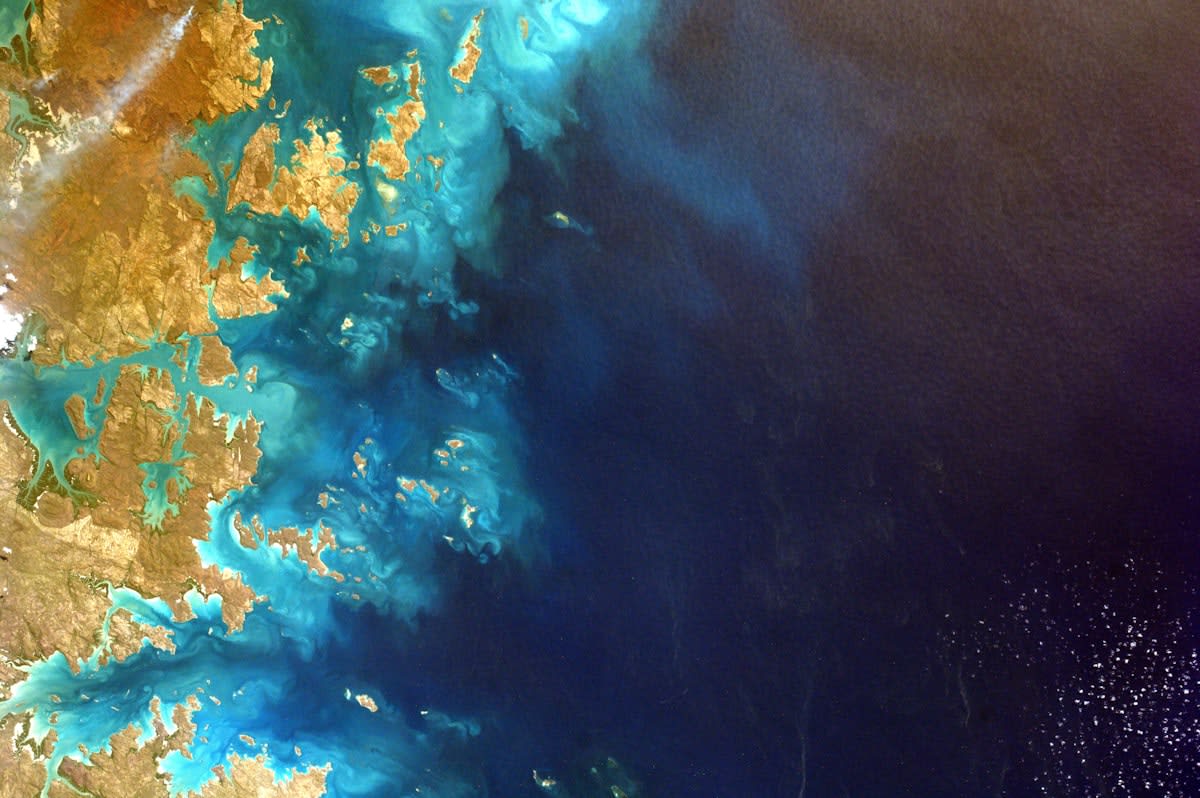
To understand the endgame, one must look north to the Arctic. Satellite imagery reveals a Russian strategy that makes the US look like a spectator in its own backyard. From the Yamal Peninsula's LNG terminals to the expansion of Arctic air bases, Russia is physically manifesting its borders through infrastructure. While Washington manages aging icebreakers and abandoned Alaskan installations, Moscow has built the world's largest fleet of icebreakers to ensure that its borders move as the ice melts.
The Russian model is the logical conclusion of the Pacific scramble. By integrating commercial terminals with military footprints, Russia is not arguing about where the border is—it is building the border. The imagery shows a network of power that ignores the static coordinates of the past. In the Arctic, as in the Pacific, the border is wherever the state can maintain a permanent, extractive presence. The transition from diplomacy to engineering is almost complete.
This leaves the Indigenous peoples of the Pacific in a precarious position. Ancestral ties to the ocean are being overwritten by the legal definitions of the EEZ and the ambitions of Bay Area financial analysts. The warnings from Pacific Islanders about the harm to fisheries and marine habitats are treated as externalities in a balance sheet. In the eyes of the extractor, the ocean is not a home or a heritage; it is a volume of water overlying a deposit of cobalt and nickel.
We are witnessing the birth of a new geography. In this new world, borders are not static lines but dynamic zones of influence determined by depth, technology, and the willingness to act unilaterally. The US push in American Samoa and the Russian surge in the Arctic are two sides of the same coin. They represent a return to a world where the strong define the limits of the sea, and the law is merely a tool for those who cannot afford the machinery of extraction.
Ultimately, the obsolescence of static sea borders is a symptom of a larger shift. When the resources required for the next century of technology are located in the abyss, the surface world's rules no longer apply. The ocean is being re-mapped, not by cartographers, but by mining leases and icebreaker routes. The question is no longer where the border lies, but who has the depth to reach the prize first.