#remote sensing
Discover 4 curated intelligence briefings related to this specific topic.

The Digital Deforestation: How LiDAR is Unearthing Lost Civilizations in Real-Time
From the dense jungles of Guatemala to the Amazonian basin, LiDAR technology is stripping away vegetation to reveal massive, interconnected urban networks. This shift from site-specific digging to landscape-scale mapping is forcing a total rewrite of human settlement patterns.
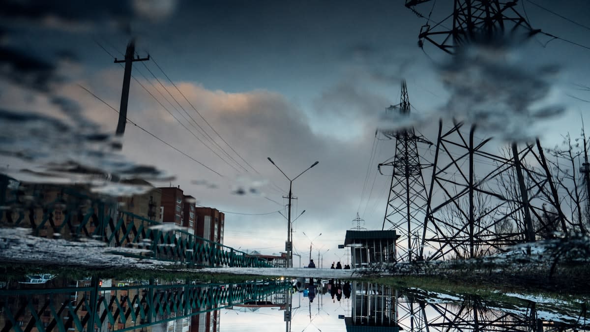
The Continental Pulse: Why the Race for HVDC Super-Grids is the New Geopolitical Chessboard
While the world focuses on the generation of green electrons, a more profound struggle is emerging over the conduits that carry them. From the trillion-euro gambles in Europe to the high-voltage expansions in Texas, the infrastructure of energy transmission is becoming the primary instrument of geopolitical leverage.
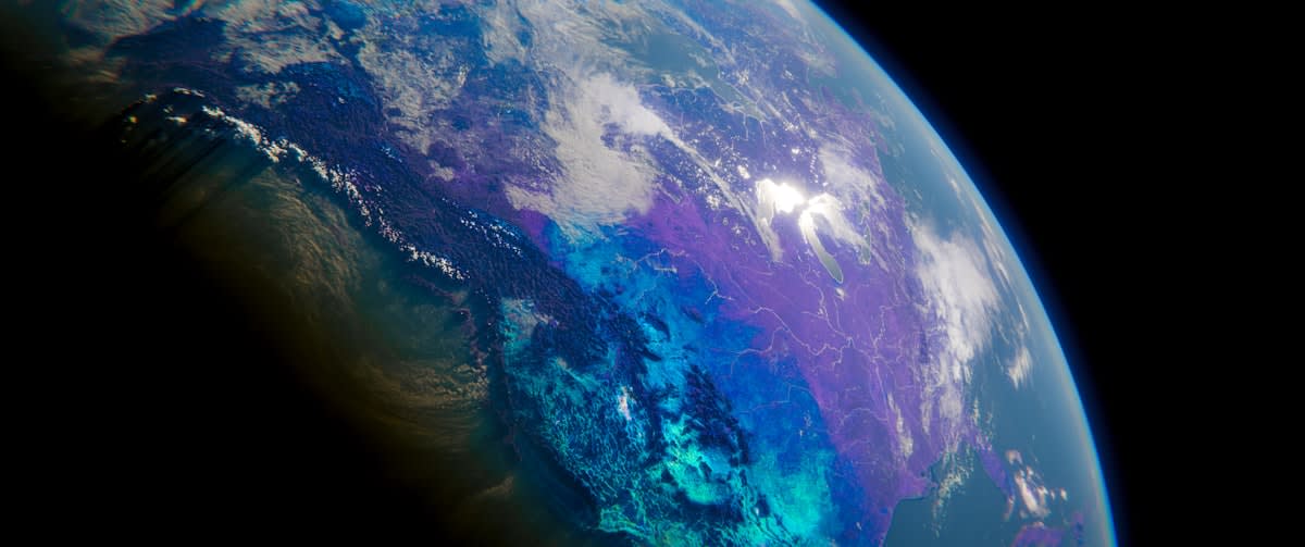
Orbital Fragility Threatens the Global Ledger
As the world pours billions into AI debt and cloud modernization, a renewed focus on nuclear anti-satellite weapons risks triggering a debris cascade that would blind the logistics and financial systems underpinning global trade.

High-Resolution Geospatial Analysis Secures Carbon Integrity
A clinical approach to integrating GIS-based assessments and stability frameworks to map carbon sequestration with precision, moving beyond estimates to verified high-integrity credits.